
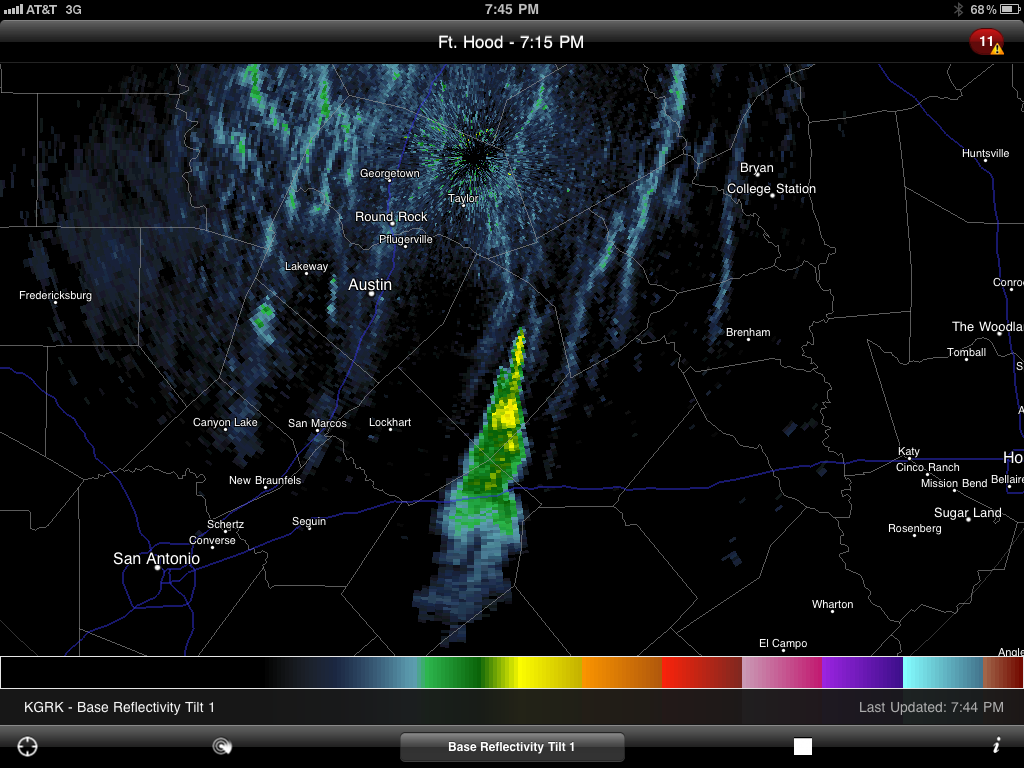
I’m gradually waking up to the idea that weather radar is for a lot more things than just clouds and rain. After watching bats on the radar all week during a particularly dry atmosphere, clouds are coming back, and then today, the Bastrop fire broke out. Now, this is a forest fire, not just the grass fires we’re used to. Forest fires with pine trees filled with resin that burn hot and high and send great big billowing smoke plumes up into the sky — smoke plumes that just happen to reflect radar pulses. There are several big fires in the area this evening, but it’s only the Bastrop fire that’s making it’s mark on the radar screen. (click image for a more detailed look)
At one point, which I neglected to capture, the image was complex with bats, and rain clouds and ground clutter and smoke plumes all in the same image. In animation mode it was interesting to see the differences. The smoke originated at a fixes point and the winds swept it off to the south, as in this image. The rain clouds moved with the wind. The bats spread out in all directions, but today their path was pushed to the south by the winds as well.
Maybe someday I’ll be able to look at the images and instantly tell what I’m seeing, but it’s early in the learning stages for me.
By the way, while the Radarscope program (both on iPad and Mac) give me the best images, more traditional weather radar images on Weather underground and the like also show these things, if you look for them.